Stow Maries WW1 Airport-geograph.org-2096599.jpg
From Warlike Expounder
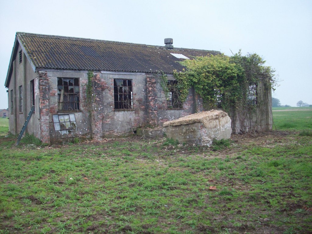
File:Stow Maries WW1 Airport-geograph.org-2096599.jpg
Size of this preview: 800 × 600 pixels. Other resolutions: 320 × 240 pixels | 640 × 480 pixels | 1,024 × 768 pixels.
Original file (1,024 × 768 pixels, file size: 222 KB, MIME type: image/jpeg)
Summary
| Stow Maries Airport complex (all buildings): |
|
| Description |
English: Stow Maries WW1 Airport, Cold Norton. Constructed 1916 |
| Date | |
| Source | https://www.geograph.org.uk/photo/2096599 |
| Author | Lee Holmes |
| Permission (Reusing this file) |
Creative Commons Attribution Share-alike license 2.0 |
| Attribution (required by the licence) | Lee Holmes / Stow Maries WWI Airfield / |
| Camera location | | View this and other nearby images on: OpenStreetMap |
|---|
Licensing

|
This image was taken from the Geograph GB & Eire project collection. See this photograph's page on the Geograph website for the photographer's contact details. The copyright on this image is owned by Lee Holmes, and is licensed for reuse under the Creative Commons Attribution Share-Alike 2.0 license.
|
This file is licensed under the Creative Commons Attribution-Share Alike 2.0 Generic licence.
Attribution:
Lee Holmes
- You are free:
- to share – to copy, distribute and transmit the work
- to remix – to adapt the work
- Under the following conditions:
- attribution – You must give appropriate credit, provide a link to the licence, and indicate if changes were made. You may do so in any reasonable manner, but not in any way that suggests the licensor endorses you or your use.
- share alike – If you remix, transform, or build upon the material, you must distribute your contributions under the same or compatible licence as the original.
}}
File history
Click on a date/time to view the file as it appeared at that time.
| Date/Time | Thumbnail | Dimensions | User | Comment | |
|---|---|---|---|---|---|
| current | 21:09, 10 September 2017 | | 1,024 × 768 (222 KB) | wikimediacommons>Geograph Update Bot | Higher-resolution version from Geograph. |
File usage
The following page uses this file: